Back to the main LibreAtlas Wiki page
about Lunar Atlas
Coordinate Reference System
The supported SRS is Moon 2000, as formally identified by the IAU2000 standard SRID 30100.This CRS is one of the geographical type, i.e. it's based on Latitude and Longitude measured angles.
Spatial Resolution (Nominal Scale)
The supported nominal scale for this dataset is about 100 m / pixel.Supported vector datasets
The following datasets (aka layers) of the vector type are included on the Lunar Atlas:- Names: about 8.900 features (craters, montes, mares ...) are represented.
- CulturalHeritage: about 70 landing sites are represented.
The original source for both datasets is the Gazeteer of planetary nomenclature
(released by USGS/NASA on the Public Domain).
Supported raster datasets
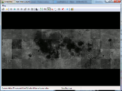
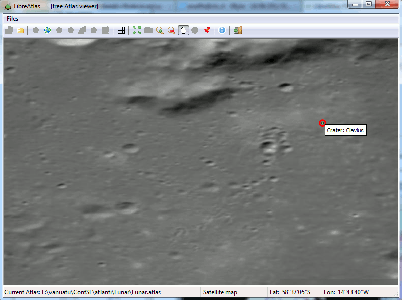
The following dataset (aka layer) of the raster type is included on the Lunar Atlas:- Satellite imagery: this actually corresponding to Clementine (relased on the Public Domain)
.i.e. it's a mosaic of selected orbital scenes taken from the Clementine NASA/USGS spacecraft (near infrared sensor).
Supported resolution is 100m/pixel.
| Visual Examples | ||
|---|---|---|
| dataset | Full Coverage | Detail |
| Satellite map (Clementine near infrared band) |

|

|
Back to the main LibreAtlas Wiki page