|
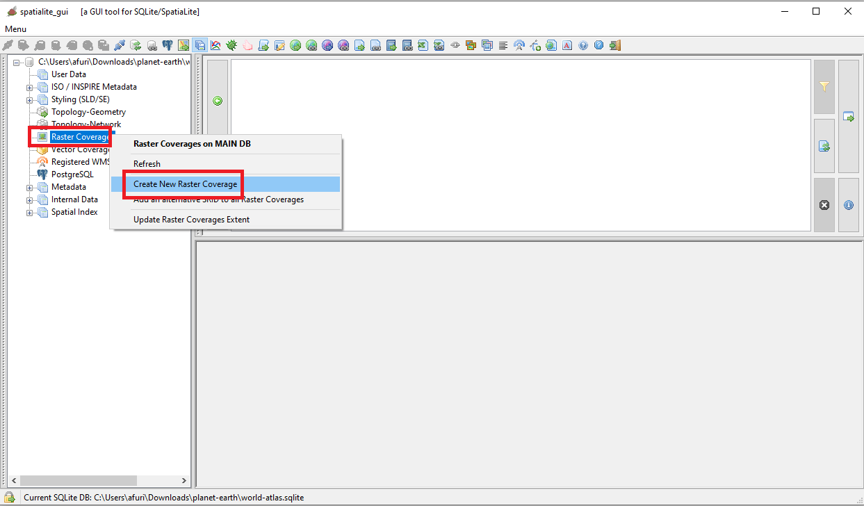
Now execute spatialite_gui and create en empty, brand new database. The side figure shows the button on the toolbar you have to press for creating a Creating a Raster Coverage. |
|
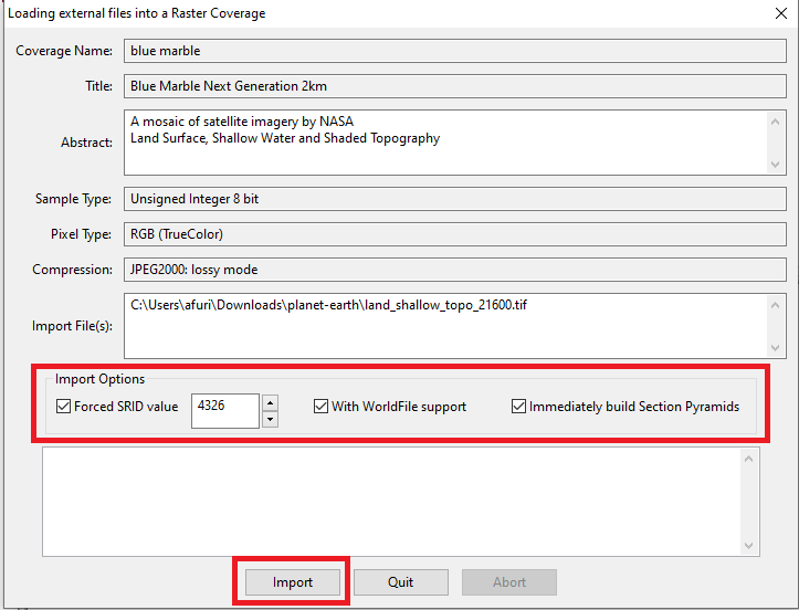
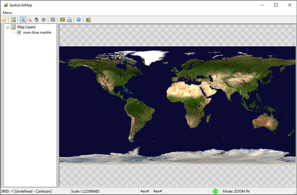
First of all you need to download the TIFF image for Blue Marble NG 2km supplied by NASA
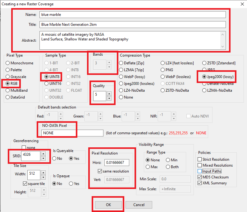
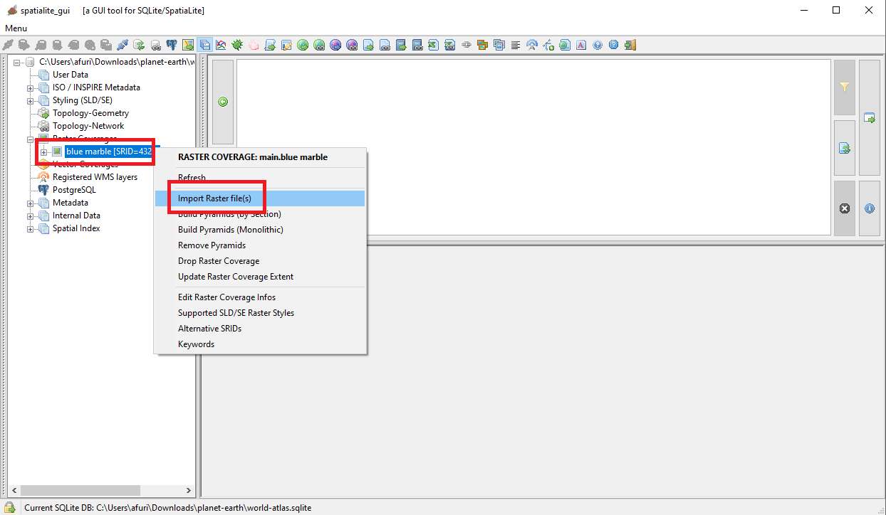
that actually is really huge image of about 173 MB. That's not enough, because the TIFF supplied by NASA lacks any useful georeferencing information, so you need too a companion WorldFile that you can download from here. Note: both files land_shallow_topo_21600.tif and land_shallow_topo_21600.tfw must be placed on the same directory. Now you are finally ready for creating and initializing the blue marble Raster Coverage |
|
| |
| piro piro |
| |
| piro piro |
| |
| piro piro |
| |
| piro piro |
|